

A Long Way to the Loo
I went looking for public toilets along the Thames Path and found unexpected gaps in provision.

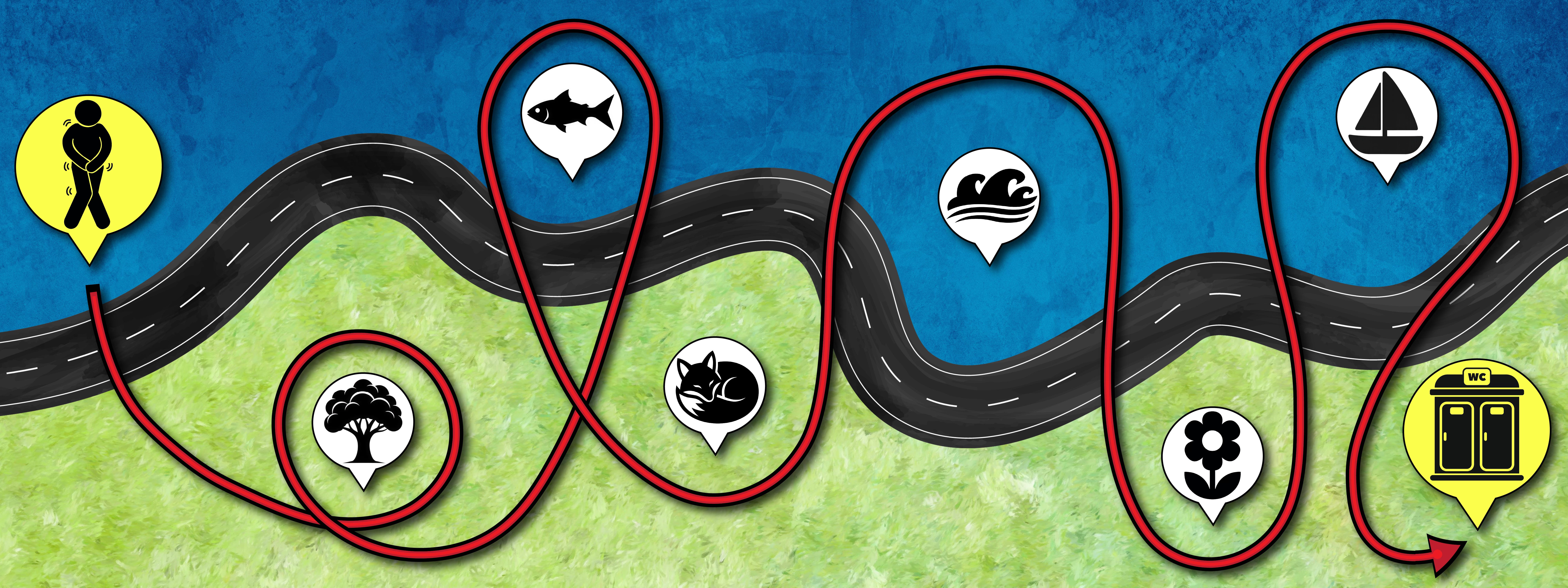
I moved to the UK in September and, since arriving, have run along the Thames Path most mornings. My route — about ten kilometres through Oxford — takes me past houseboats, under bridges, and along a dew-fresh field where cows sometimes graze. As picturesque as it may be, it’s missing the one thing every runner eventually needs: a public toilet.
At first, I chalked it up to being an outsider. In the coastal Canadian city where I’m from, I knew the location of every public toilet along my regular route, confident I could reach the nearest one should my pre-run fuel demand a swift exit. Surely, once I became familiar with Oxford, the same would be true here.
That assumption, however, was short-lived.
When I searched online for a ‘Thames Path toilet map,’ I expected to find a simple guide. Nothing appeared. The closest result was an app called Flush, which listed every nearby toilet, rather than just those on or near the route.
So I decided to make my own.
Using a grid reference finder and an online list of public toilets along the non-tidal section of the Thames Path (from the Cotswolds to Teddington), I began plotting each location onto a digital map of the route. To ensure accuracy, I cross-checked the information against local council records and government data on lock facilities.
What emerged was a patchwork geography of public toilet access.

I began with the first listed facility in Cricklade, more than eleven miles from the start of the route in the village of Kemble. The next toilet was a similar distance away in Lechlade. After that, the gaps narrowed for a stretch of around thirty miles, making access less of an immediate concern.
But the pattern changed again around Oxford.
Once I passed Hinksey Park in my mapping and continued south of the city centre, the next available toilet was more than eight miles away, in a car park in Abingdon. The data showed I hadn’t missed them on my morning jogs; they simply weren’t there.
This was the largest gap in any urban stretch along the non-tidal Thames Path. Across the full route, I plotted fifty-eight public toilets. Exactly half were located at locks. Yet in Oxford, none of the four main locks — King’s, Godstow, Osney, and Iffley — had public toilets.
Instead, users appear to rely on facilities in town: parks, shopping centres, and transport stations. In places such as Reading, Staines, and Windsor, official listings simply note ‘various’ locations, leaving path-users to navigate those sections independently. Many of these options are neither close to nor easily reached from the path itself.
I mentioned the project during a phone call with my mother. ‘It’s much easier for guys,’ she said. ‘Women can’t just pop behind a bush if they need to go.’ I hadn’t asked for her input, but it widened my focus. The issue wasn’t just mine — it depended on who was using the path, and how.
I produced a simple chart to illustrate travel times between toilets based on average running pace. The gap between Oxford and Abingdon, for example, takes around an hour to run. For those walking the route, it could take several times longer.

I contacted a company that supports long-distance walkers on the Thames Path to discuss the story I was working on. They said the findings would be ‘very helpful to walkers’ and noted that toilets along the route are sometimes out of service for months due to vandalism.
At the time of publication, I was still contacting councils, agencies, and organisations to understand who is responsible for provision, funding, and maintenance for public toilets along the Thames Path. What is clear, however, is that responsibility is fragmented and provision uneven.
For now, while longer stretches of the path remain without relief, I may have to adjust my route, heading closer to town where facilities are more readily available.